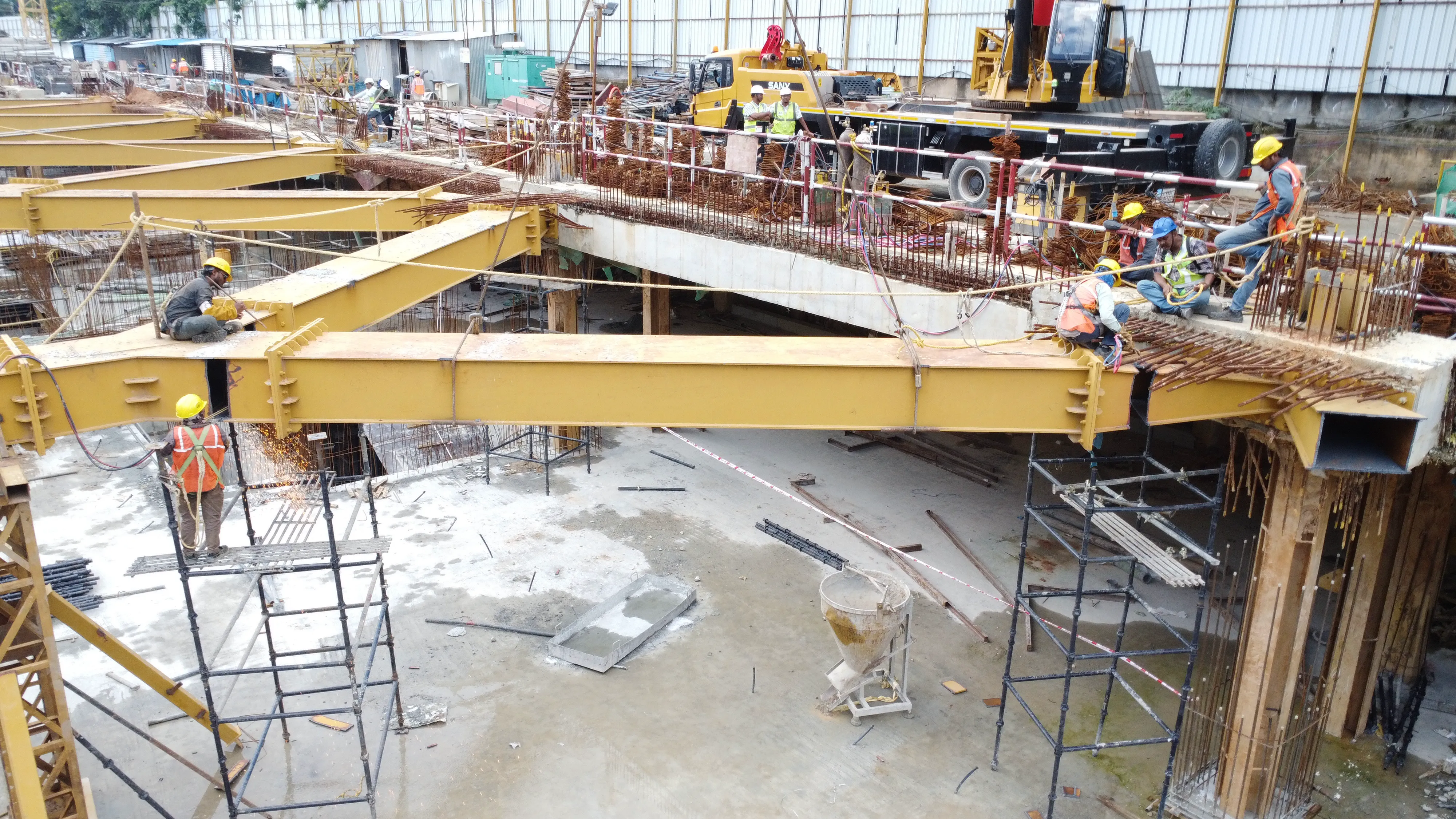
Aerial Insights for Smarter Construction
Transform construction site management with Observance Sky's drone-based scanning and AI-powered analytics. Capture comprehensive aerial data, track progress in real-time, and make informed decisions faster than ever before.
Benefits of Our Drone Solutions
Enhanced Safety
Reduce the need for personnel to work in hazardous areas by using drones to capture data from difficult-to-reach or dangerous locations.
Cost Efficiency
Reduce expenses by eliminating the need for traditional surveying methods, scaffolding, and repeated site visits with comprehensive aerial imaging.
Faster Project Completion
Accelerate timelines with rapid data collection that enables quick decisions and minimizes delays in the construction process.
Comprehensive Documentation
Maintain a complete visual record of your project that serves as valuable documentation for compliance, dispute resolution, and future reference.
Data-Driven Decisions
Leverage actionable insights from advanced analytics to make informed decisions that optimize resources, reduce waste, and improve project outcomes.
Simplified Compliance
Easily meet regulatory requirements with comprehensive documentation and accurate measurements that satisfy inspection and reporting obligations.

Monitor Site Progress
from Above
Observance Sky provides specialized drone-based aerial documentation for your construction projects. We offer regular, high-quality visual data, giving you a bird's-eye view of your site's progress. This service is ideal for milestone tracking, such as monitoring floor completion, and maintaining a comprehensive record for site documentation.
Key Features & Benefits
Bird's-Eye Milestone Tracking: to monitor key construction phases from a unique aerial perspective.
Floor-by-Floor Progress Verification: enabling clear documentation of vertical construction milestones.
Complete Site Overviews: providing a holistic view of your project for planning and coordination.
360° Site Panoramas: for immersive and complete visual documentation of site status.
Dynamic Aerial Monitoring Showcase
Experience how Observance Sky transforms construction oversight through our advanced drone technology. Each clip highlights a key capability, from high-resolution mapping to real-time progress tracking.
High-Fidelity Site Mapping
Our drones capture comprehensive aerial imagery to create detailed, high-resolution 2D maps and 3D models of your entire construction site.
Real-Time Progress Tracking
Monitor construction progress against your schedule with regular automated flights, providing up-to-date visual data and actionable insights.
Automated Earthwork Analysis
Precisely measure stockpile volumes, cut-and-fill quantities, and overall site topography to optimize material management and reduce costs.
Enhanced Safety & Quality Inspections
Conduct detailed facade, roof, and structural inspections remotely, identifying potential issues without putting personnel at risk.
Frequently Asked Questions
Get answers to common questions about our drone scanning services for construction
Elevate Your Construction with Observance Sky
Discover how our drone-based scanning, aerial mapping, and AI-powered progress tracking can provide real-time insights for your projects. Book a call today!